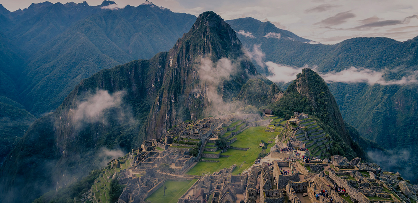
Welcome to the world of Travel Quiz!
Want fun, challenging travel quizzes (like these below) emailed directly to you? Subscribe now!
Nature
21 Questions
Ski Right Through This Quiz on U.S. Lakes
History
10 Questions
Embark on a Quiz About Famous Solo Journeys in History
Geography
20 Questions
Travel the Globe With This World Capitals Quiz
History
10 Questions
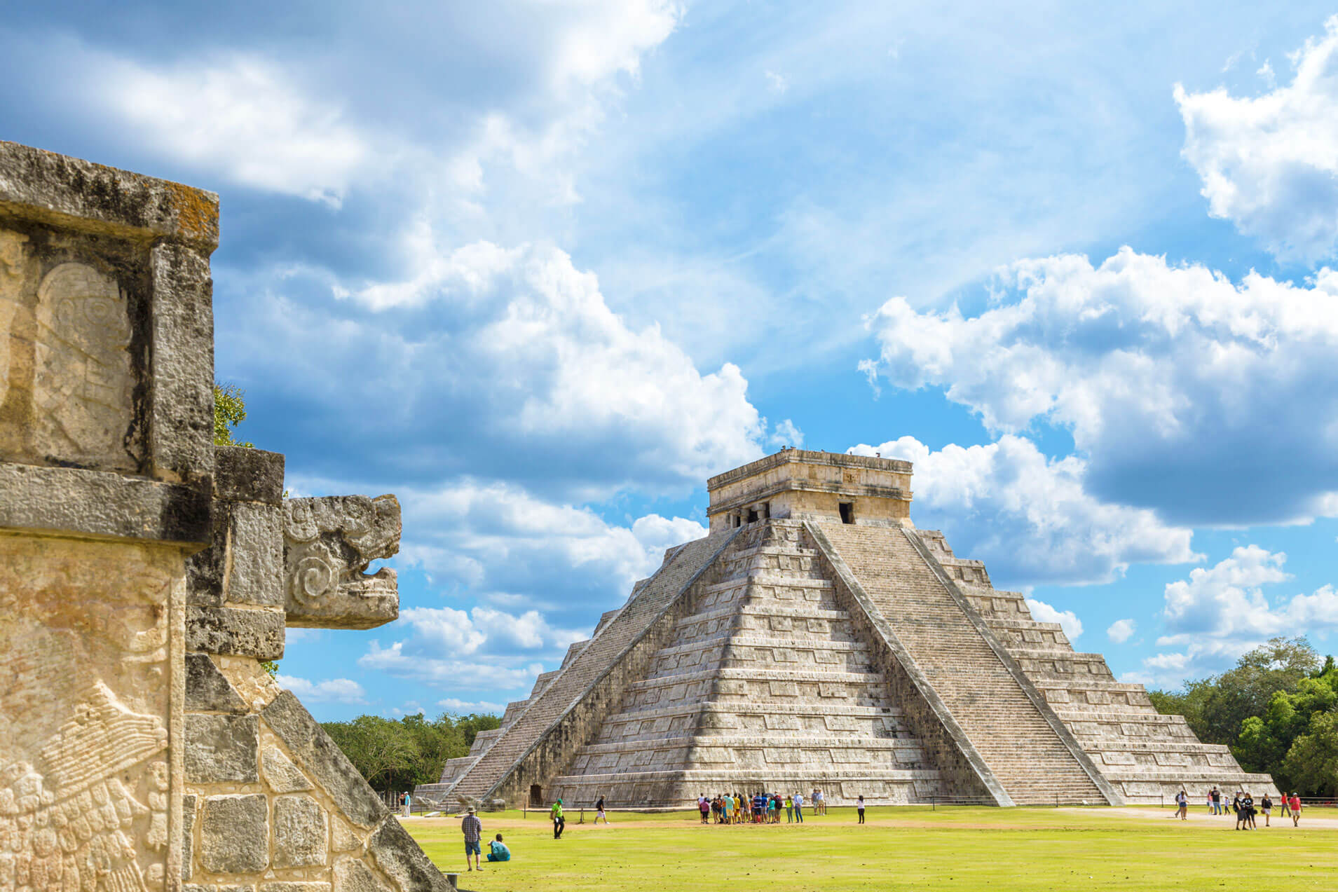
Are You at the Pinnacle of Your Ancient Pyramid Knowledge?
Nature
20 Questions
Conserve All Your Energy for This Earth Day Quiz
General

20 Questions
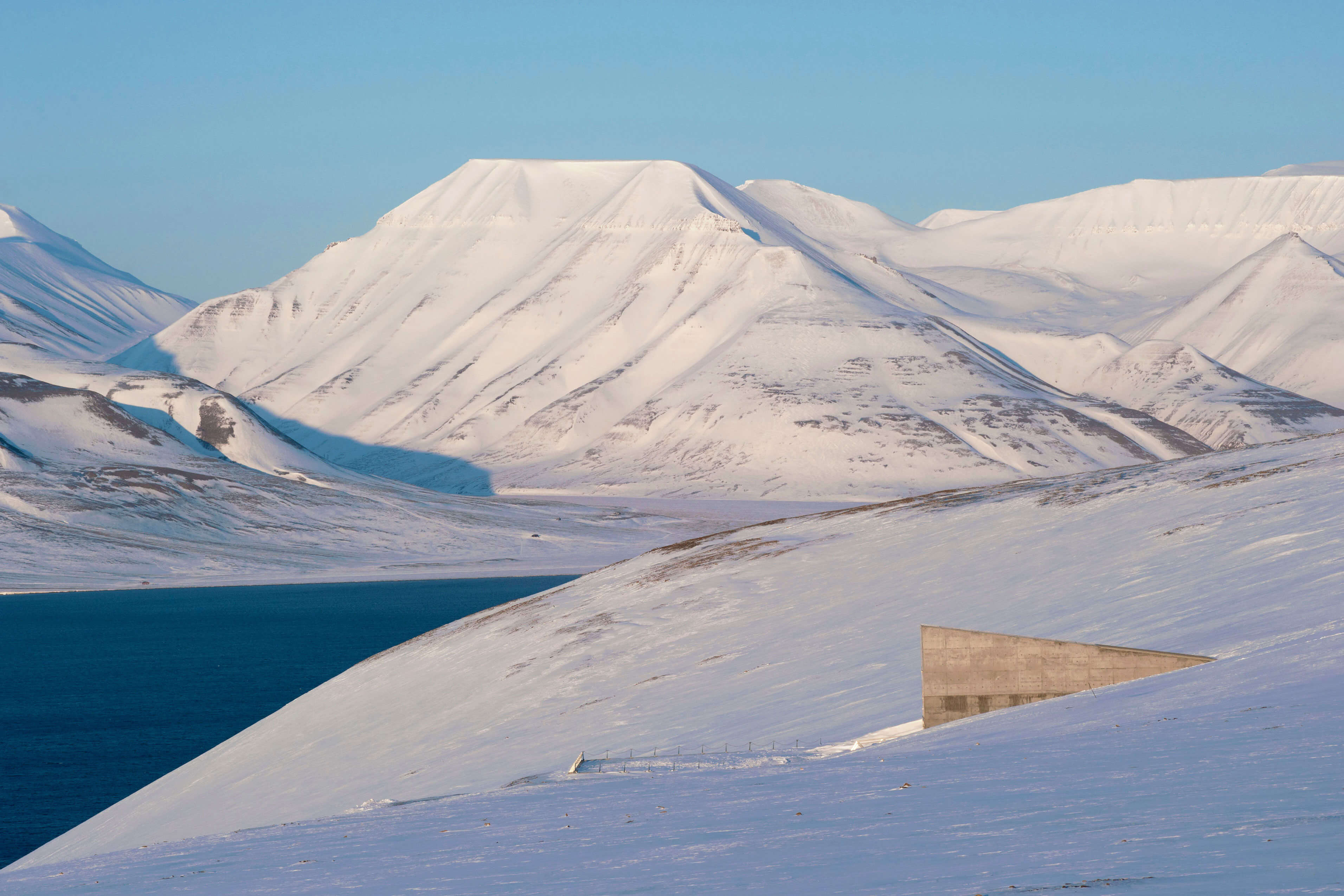
Pack Your Bags for This Quiz About Scandinavia
General

20 Questions
See if Your Sin City Knowledge Stacks Up in This Las Vegas Quiz
History

10 Questions
Conquer This Quiz About Historic Battle Sites
Landmarks

10 Questions
Graduate With Honors From This International Universities Quiz
Landmarks

10 Questions
Can You Size Up These Presidential Homes Around the World?
Geography
20 Questions
Buckle Up for a Journey to the World’s Most Remote Places
Landmarks
20 Questions
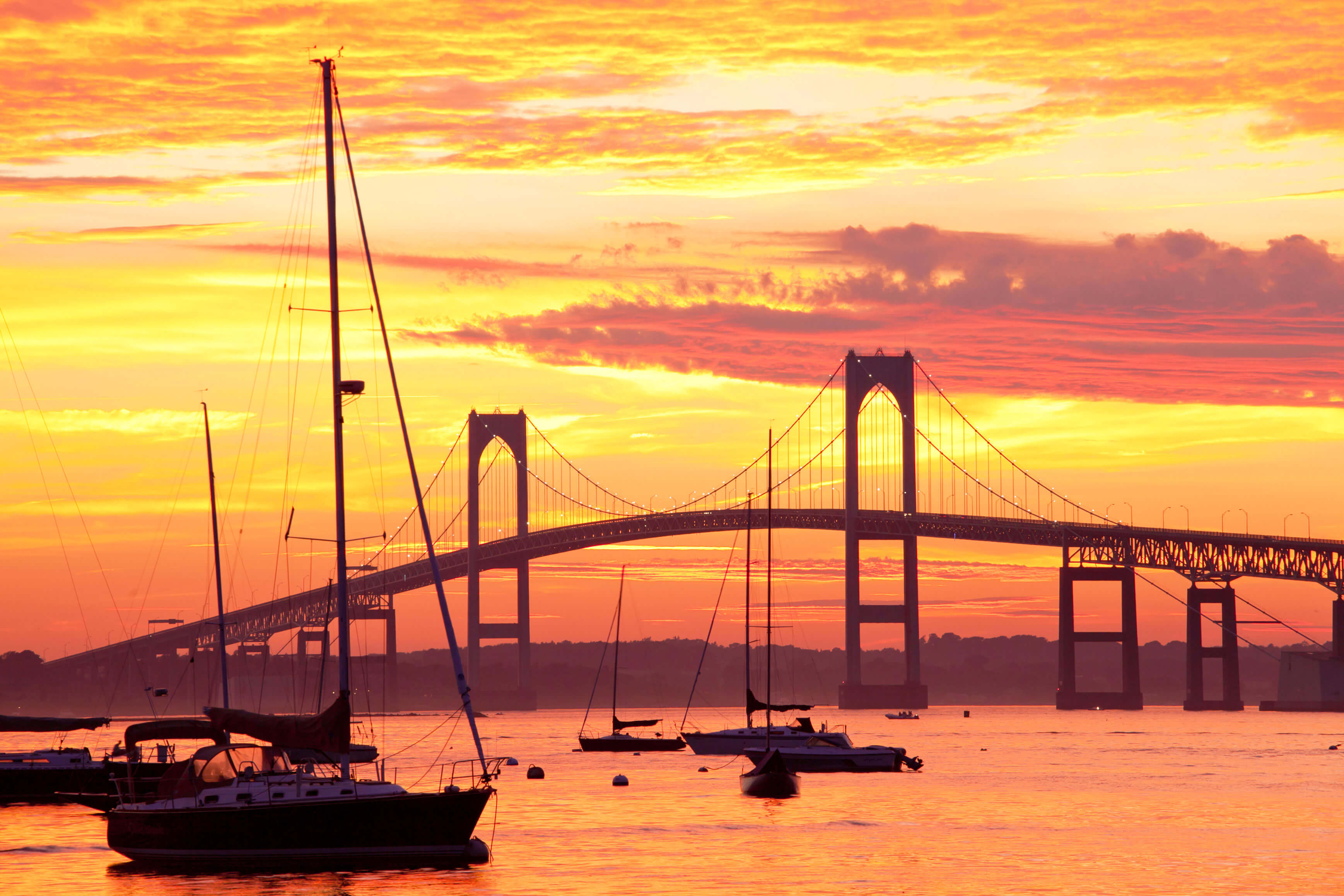
Age Is Just a Number in This Quiz on the Oldest U.S. Buildings
Geography
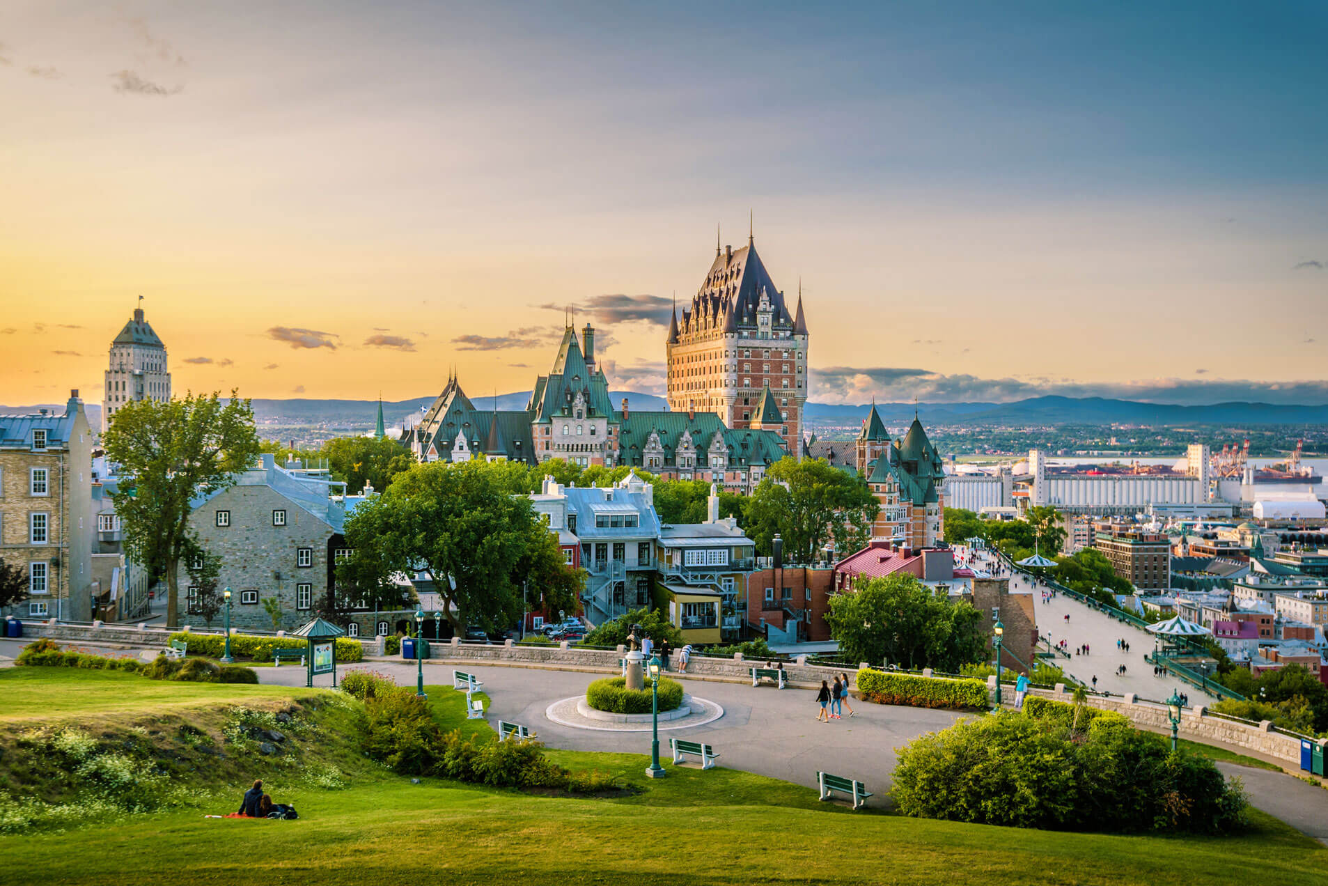
10 Questions
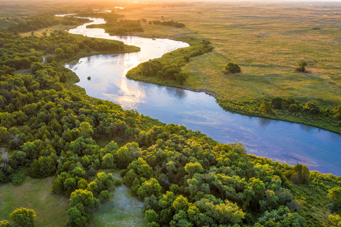
O Canada, It’s a Canadian Geography Quiz
Whether you’re an armchair tourist or a jetsetter IRL, Travel Quiz delivers globe-spanning trivia challenges and daily destinations to spark your wanderlust. With each quiz, earn points as you grow and test your knowledge — and daydream about your next adventure.

Test your knowledge and earn badges along the way!
Check your progress from your Dashboard